The Chicopee river divides Indian Orchard from Ludlow and from Chicopee. Starting with
the upper river, which has had the most bridges that allowed traveling to the northern
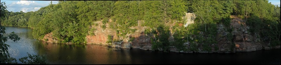
neighbor town of Ludlow. Known as the Put's Bridge , the original was a covered bridge
and is commonly known as the Main st or Ludlow bridge.
seen here from a 1897 picture with a horse carriage zipping through. It connects the village
to Ludlow near the Ludlow Mills. A miniature model of the bridge is found over the Ludlow side
The current bridge was built in the 1930's is still the main access between the two sides.
The adjacent dam is still being used for power generation.
There were two more bridges existing at the same time connecting Indian Orchard to
the Indian Leap of Ludlow, one of which was an aqueduct and just downriver
from the railroad bridge.
Both have since been demolished and not replaced, the Indian Leap bridge, a railroad
bridge for the Athol branch of the Boston Albany Railroad Co. seen here possibly during
the 1938 flood was the longer lasting, demolished in the early 1990s.
The above picture was taken from the pedestrian aqueduct bridge, which was demolished first in the 1970s.
1905
The railroad bridge was demolished in the early 1990s. The middle support is gone, but
the riverside supports are still in place.
The last downtown or lower river bridge also known as the West st. or lower Main st.
bridge also connects Indian Orchard to Ludlow
Photo taken by Geoff Hubbs in May 2020
view from the Ludlow side.
A view from the bridge looking east to the Indian Orchard Mills.
The last bridge downriver still in the Indian Orchard area ,was at the Bircham Bend.
It was also a railroad bridge built in 1910s, but never used because of conflicting
ownership. It was demolished in 1920 and sold for scrap.
The support stumps can still be seen as the old right of way was purchased by the power
grid for high voltage lines.

1932 West st. Bridge